MEHKA AND HIPP…, ANDRES AND PEARU… .
Mehkamaa is home to open, active, and good people who value their homeland and community.
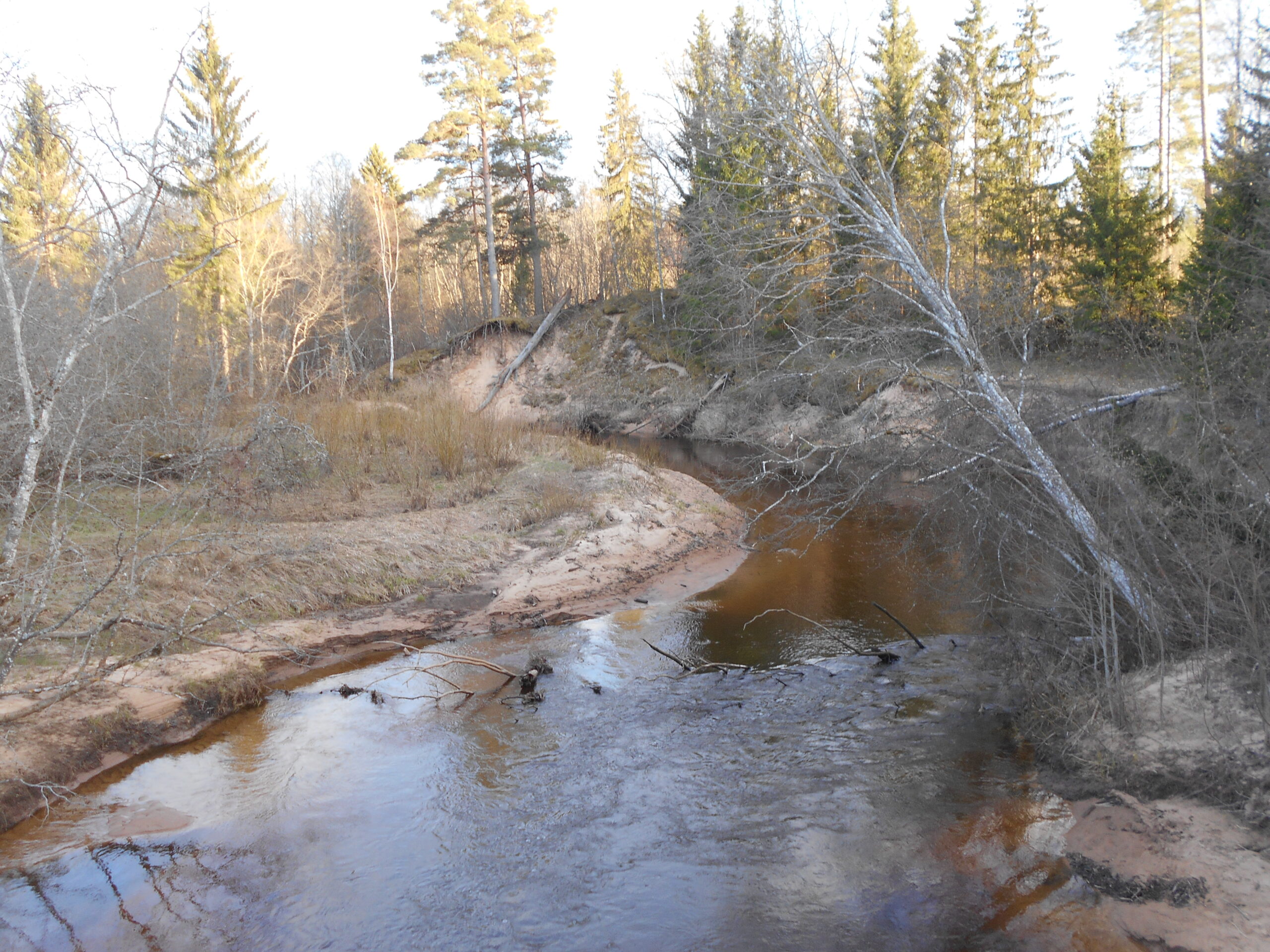
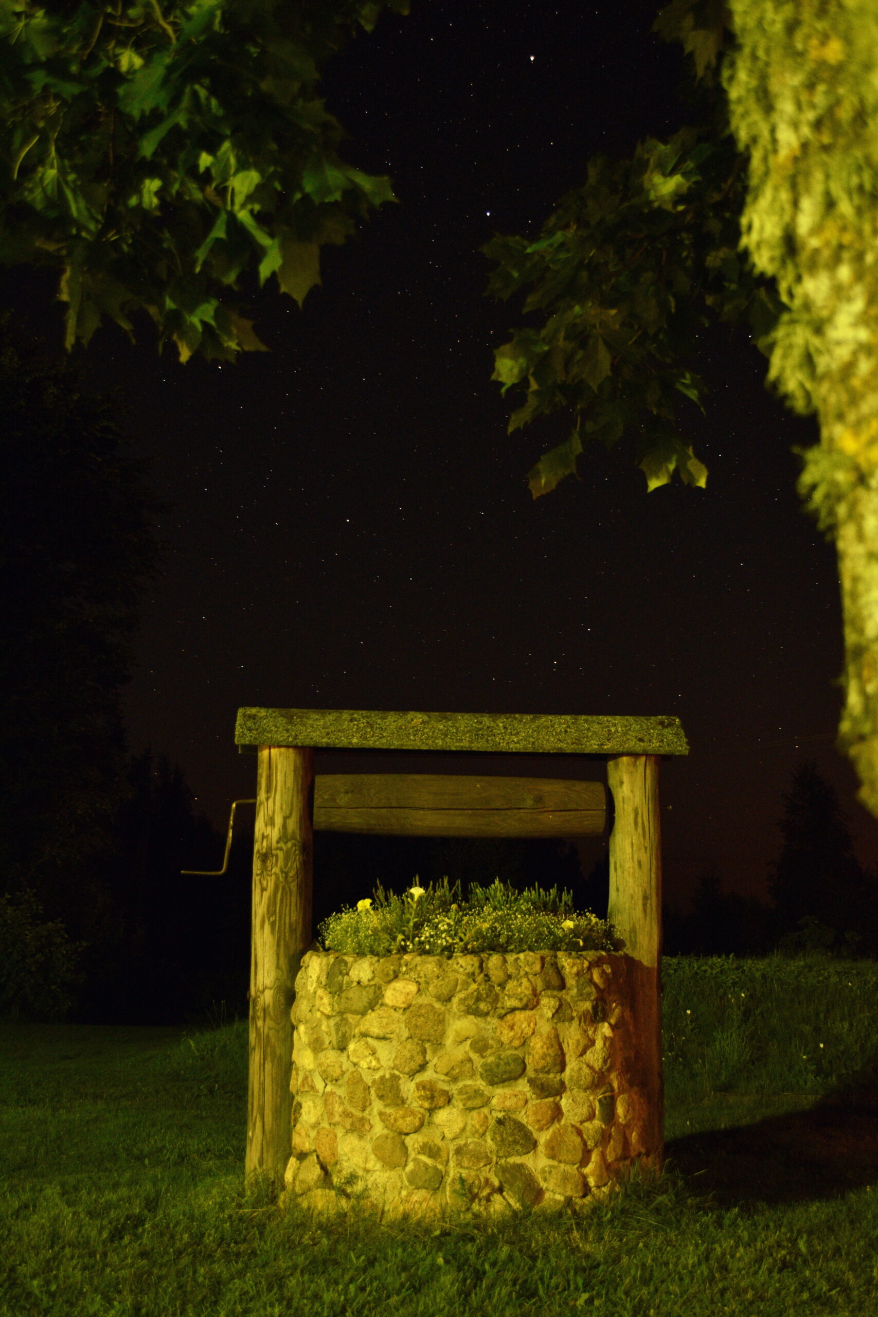
People lived among thick forests on the banks of the Peetri River. During the Great Plague, there were fewer and fewer people… A young woman called Hipp once wandered along the banks of the river and saw fresh footprints. Hipp hoped that she is not alone there. As she walked along the trail, she found a campfire site near a beautiful sandstone outcrop, which was still lightly smoking… Hope had been replaced by disappointment. Hipp sat on a rock to rest her feet a little.
Suddenly she noticed a person coming closer and closer. It was Mehka who had also been left alone. The joy of the young people over meeting was great… The same beautiful rivermeanger where they met became their home… In Mehkamaa, there was hope again that life would go on. This nice legend characterizes the people of Mehkamaa to this day, they are tenacious, frugal, appreciate nature and people.
Introduction of Mõniste region
Mõniste region is in the southwestern part of Võru county on the lower courses of the Mustjõgi River and its most important tributaries Vaidva and Peetri, being the southernmost area of Estonia. Historically, together with Taheva region, it is a part of the former Hargla parish in Old Võru county. The neighbours are Taheva and Karula parish from Valga county in the west, Antsla parish in the north, Varstu region from Võru County in the east, and Ape region from the Republic of Latvia in the south.
The population of the region is about 800 people and the area of the region is 174.8 square kilometers.

There are 17 villages in the territory of the region, the largest of them is Saru with 243 inhabitants, followed by Mõniste with 194 inhabitants and Kuutsi with 88 inhabitants.
List of some villages in the region: Hürova, Hüti, Kallaste, Karisöödi, Koemetsa, Kuutsi, Mõniste, Parmupalu, Peebu, Sakurgi, Saru, Singa, Tiitsa, Tundu, Tursa, Vastse-Roosa and Villike.
The administrative centre of the parish is located in Rõuge (27 km from Mõniste). From Mõniste it is 39 km to Võru, 46 km to Valga, 101 km to Tartu, 283 km to Tallinn, and 11 km to Ape (in the Republic of Latvia). The most important highway is the Valga-Võru highway passing through the area.
In terms of the natural environment, the Mõniste region is very varied. The landscape is diversified by a relatively large number of watercourses, forest massifs, marshes, swamps, cultivated agricultural lands, and natural grasslands.
History
Historical records show that Mõniste was known as Mendise from 1386, when it belonged as a village to the von Uexkülls. At that time, it was part of the Urvaste parish in Ugandi. In 1694, Hargla parish was formed and Mõniste and Saru fell under it. Today´s area was inhabited by Mõniste and Saru cattle manors in 1542. On the bases of Livonian Farm Act of 1819, rural municipalities were formed by manors as peasant communities. In 1873, these manors were acquired by Bernard von Wulf. In 1920 the manors were planned and in 1921 they were settled. According to the data of 1922, the size of Mõniste parish was 94.2 km2 (1,585 inhabitants), Saru parish was 65.8 km2 (894 inhabitants), and Vastse-Roosa parish was 28.1 km2 (405 inhabitants).
In 1939, the rural municipalities were reorganized – Vastse-Roosa and Saru parish disappeared, they were divided between Krabi and Vana-Roosa parishes. In 1945, three executive commitees of the village´s working people´s deputies were formed on the current territory of Mõniste parish – Mõniste, Vastse-Roosa, and Saru, and in 1954 they were merged into one Mõniste Village Council. Until 1979, the community center was in Kuutsi, later it was moved to Mõniste. On December 19, 1991, the local government status of Mõniste parish was confirmed and Mõniste parish took over the rights of a local government administrative unit. After the administrative reform in 2017, Mõniste region belongs to Rõuge parish.
Nature
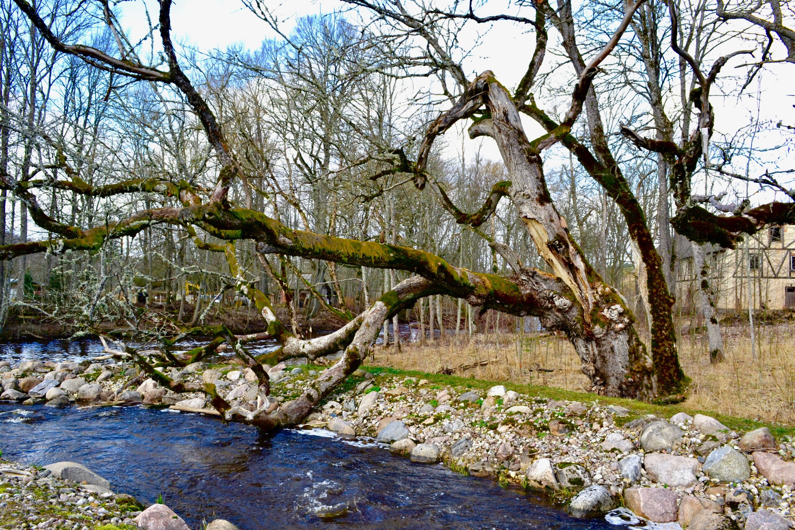
In terms of the natural environment, the Mõniste region is very varied. The landscape is diversified by a relatively large number of watercourses. In the territory of the Mõniste region, three large rivers flow: the Mustjõgi, the Vaidva, and the Peetri River and many larger and smaller streams flowing into them. There are natural lakes in the territory of the region: Lake Ubajärv, Lake Mõniste, and three reservoirs: Ahelo Lake, Vastse-Roosa Lake and Peetri Lake.
The marshes of the Mustjõgi and Vaidva river are in the territory of the Mõniste region. In addition, there are areas in the area swollen by beavers (Laandura, Ähve stream in Leppura). There are four bogs in the area – Sinesaare, Sakurgi, Ubajärve, and Kupa bog.
There are several protected areas with different conservation status and objectives in the territory of the area. In the southern part of the region is the Peetri River Landscape Protection Area, which has been established to protect the limestones and sandstone outcrops exposed along the river, the deep notch of the river and several plant species growing on the northern border of its distribution area. The Mõtsamõisa forest protection area is also included in the list of protected areas, which is in the areas of the state forest near Vastse-Roosa, extending both south and north of the Vaidva River. The extensive Mustjõgi moor, which is often flooded with high water, has been registered as a bird area of international importance. In addition, there are several other bird protection areas in the area, which have been established to protect the nesting sites of small eagles, black storks, and ospreys, as well as permanent wild habitats.
Mõniste park, Vastse-Roosa park, Karisöödi park, Vastse-Roosa cemetery, family cemetery of the last owner of Mõniste manor, Saru cross trees, surroundings of Vaidva and Peeli rivers, Koemetsa (Lossimäed, Ubajärv), and highest point of Mõniste (113.5 m) Mäe-Luustoja in the village of Peebu are worth mentioning as places of environmental value.
Forest land makes up 9920.9 ha or approximately 57% of the area.
Exciting form the Mõniste region
- The Estonian Home Memorial Complex is in the area.
- There is Wulf burial ground near Mõniste.
- In Mõniste there is beautiful park with a lake and a bathing place on the shore.
- In Vastse-Roosa, Metsavenna farm operates.
- You can find the Filmi Vargamäe Visitor Center in Vastse-Roosa.
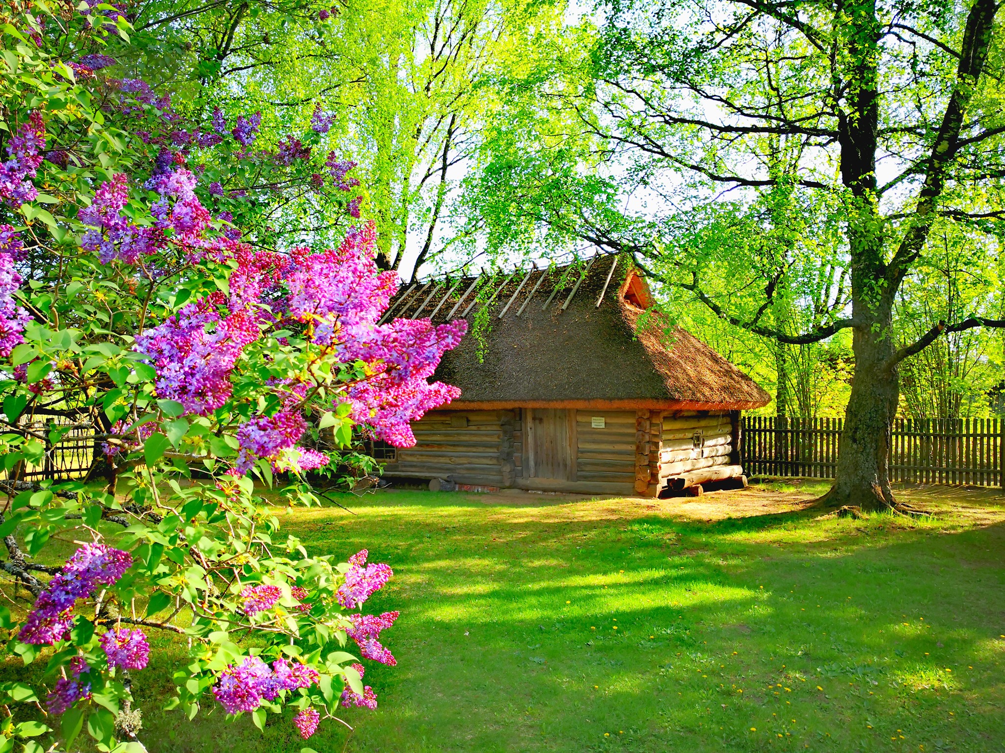
- Kuutsi village has the oldest open-air museum in Estonia – Mõniste Peasant Museum.
- The southern tip of Estonia is in Mõniste Parish.
- Folklorist Marju Kõivupuu was born in Mõniste Parish.
- The common hallmark of the Taheva-Karula-Mõniste region is Kotussõ´s “Uma üülaat”, which brought a total of about 800 visitors in 2019 (1st night fair) and almost 2,400 visitors in 2020 (2nd night fair).
- On the former narrow-gauge railway dam, there is a Green Railway hiking trail.
- Hargla (Sarupalu) cross forest is in the area.
- More than 30 fish species have been found in the Mustjõgi River.
Mõniste region in the TV/YouTube
- Mõniste Peasant Museum on the TV channel ETV cultural show “OP” (2021) – https://kultuur.err.ee/1608149380/eesti-vanimas-vabaohumuuseumis-saab-kaia-ka-viietunnisel-ekskursioonil
- Late autumn video about Kotus area (2021) – https://www.youtube.com/watch?v=8w-nJYnI1C4&t=83s
- Mõniste area (2020) – https://www.youtube.com/watch?v=eNTOoeush54
- Kotus area Christmas video (2019) – https://www.youtube.com/watch?v=yiP80fRbY24
- The Filmi Vargamäe Visitor Center on the TV channel ETV show “Ringvaade” (2019) – https://menu.err.ee/920337/ringvaade-uuris-millist-elu-vargamael-oma-ajal-tegelikult-elati
- Drone views from Saru (2015) – https://www.youtube.com/watch?v=M9e1_b4sgmk
Mõniste Region in web
In addition to the information published on Kotus’ website, it is also worth keeping an eye on the following pages:
- Rõuge parish homepage – https://rouge.kovtp.ee/
- Mehkamaa Facebook page – https://www.facebook.com/Mehkamaa
- Mõniste School homepage – https://monistekool.wixsite.com/monistekool ja Facebook´i sein – https://www.facebook.com/MonisteKool
- Mõniste Cultural House Facebook page – https://www.facebook.com/monisterahvamaja
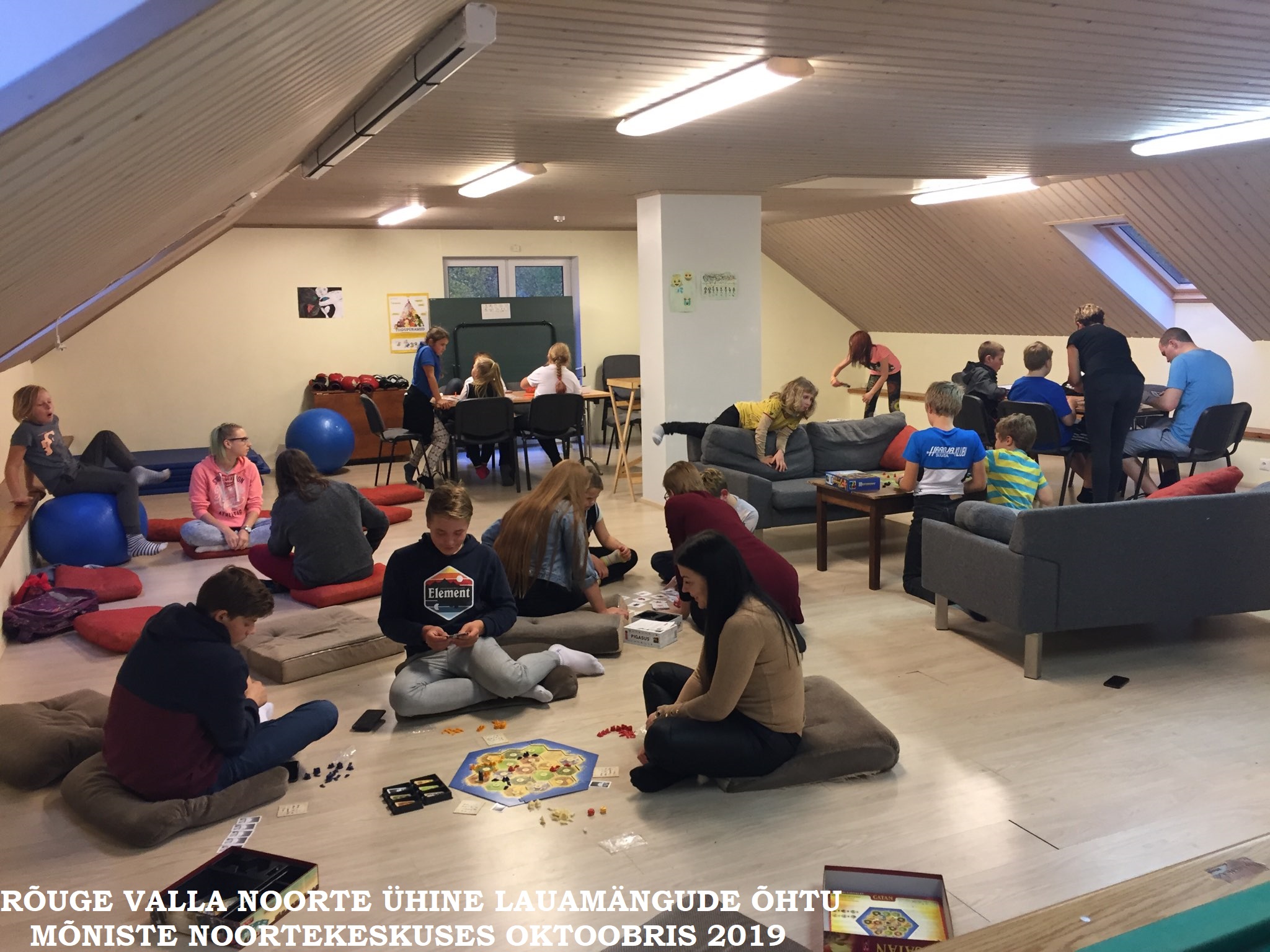
- Mõniste Youth Centre Facebook page – https://www.facebook.com/monistenoored/
- Mõniste Peasant Museum homepage – https://monistemuuseum.ee/ ja Facebook´i sein – https://www.facebook.com/monistemuuseum
- Filmi Vargamäe visitor center homepage – http://www.filmivargamae.ee/et ja Facebook´i sein – https://www.facebook.com/Filmi-Vargam%C3%A4e-303700550308411
- Vastse-Roosa Village organization– http://kylaselts.kuus.eu/
- Facebook page “Saru Lauatehas läbi aegade”/”Saru Lauatehas through the ages” – https://www.facebook.com/sarulauatehas/
Used sources
- Vikipedia – https://et.wikipedia.org/wiki/M%C3%B5niste_vald
- Estonian map with Mõniste parish contour – By Mmh – Üleslaadija oma töö, CC BY-SA 3.0, https://commons.wikimedia.org/w/index.php?curid=8303858
- Mõniste parish development document 2013-2019
- Mõniste parish village life development document 2009-2015


